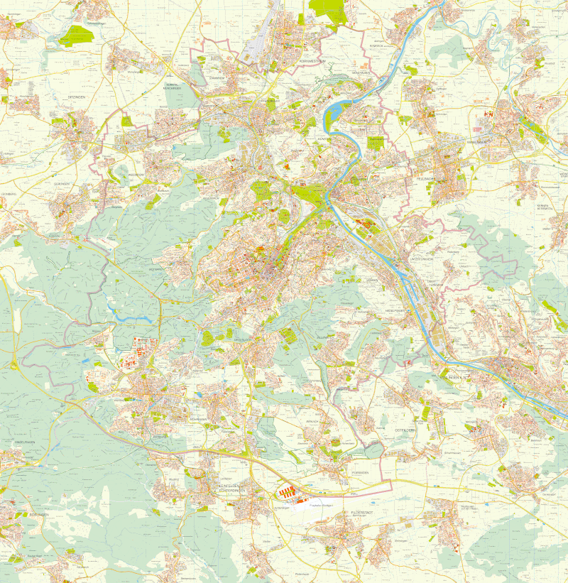
Historischer Stadtplan Stuttgart 2008
כתובת: https://gis6.stuttgart.de/data/opendata/2008_Stuttgart_20000_Stadtplan_300dpi.tif
Die Rastergrafik ist nicht georeferenziert.
מידע נוסף
| שדה | ערך |
|---|---|
| עדכון הנתונים האחרון | 28 ביוני 2023 |
| עדכון אחרון של נתוני העל | 28 ביוני 2023 |
| מועד היצירה | 28 ביוני 2023 |
| תצורה | tif |
| רישיון | Creative Commons Namensnennung – 4.0 International (CC BY 4.0) |
| Datastore active | False |
| Has views | True |
| Id | e1a76e25-847c-48d0-9ff8-01237be214e4 |
| Mimetype | image/tiff |
| Package id | 7ff2e985-c909-46eb-a4f9-7b4dd92b2cf7 |
| Position | 0 |
| State | active |